- About
- Intara
- Capabilities
- Advisory
- Resources
- News
- Store
GEOINT 2022
Book a face-to-face meeting to see our interconnected intelligence in action
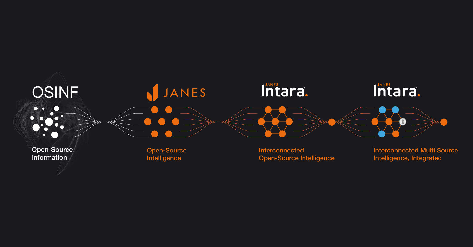
During GEOINT 2022, Janes will be demonstrating Janes Intara, our unique data model that can be accessed via a system of your choice. Janes Intara links millions of assured data points to create a framework of interconnected intelligence across military
capabilities and orders of battle, equipment, events and defense markets. Janes Intara enables you to integrate your own data, third party data and Janes open-source intelligence into a system of your choice, for example Esri’s ArcGIS. By creating
a single intelligence environment, data can be viewed geospatially to enhance situational awareness and reveal previously hidden connections.
Book a meeting with us at GEOINT 2022 now to see Janes Intara in
action.
Schedule your meeting using the calendar provided.
Demonstrations on the booth will include:
Janes Intara Inside Naval ISR and Force Protection
- This demonstration showcases how Janes Intara, built within the Esri ArcGIS platform, can be integrated into an existing naval system to deliver assured foundational intelligence to support intelligence workflows. The example is focused around the identification of a Z-9D and a H-6J by a US naval vessel located in the Pacific off the coast of China, Japan and the Philippines.
PLA(N) Expeditionary Capabilities & Pattern of Life Analysis
- This analysis is built using Janes equipment in order of battle (ORBAT) units, equipment inventories, military bases and other installations, events, imagery intelligence (IMINT), and market intelligence and forecasting data. It is including equipment-to-equipment relationships and structured specifications data associated with each ship and related equipment. Janes Intara, which is an API-accessible knowledge graph, structures the relationships between these entities and provides capabilities for both integration into existing systems (including Esri ArcGIS) and interconnection with other data sources. As a result, the Janes knowledge graph functions as the backbone doctrine and foundational intelligence data layer for integrating multisource intelligence within Esri ArcGIS.

Janes Intara in Naval ISR and Integrated Naval Systems
This demonstration, built up on the Esri online platform, showcases how Janes interconnected intelligence can be integrated and used in commercial off the shelf systems and systems of record already available. This Naval ISR scenario is set in the pacific off the coast of China, Japan and the Philippines.
Want to know more?
Discover how Janes assured open-source intelligence delivers a validated, independent, impartial perspective on threats and capabilities.
Webinars

Including extracts from Janes Intelligence Briefing series, these webinars provide an exclusive opportunity to delve more deeply into the most topical issues.
Case Studies

Bringing together interconnected, verified and validated data and intelligence across our core capability areas threat, equipment, country and defence industry intelligence.
Learn Janes Tradecraft

Online training and support material to enable organisations to exploit open-source information to improve their planning and decision making processes.
Strategic Services

The Janes Strategic Service team combines its services with Janes world-leading data to provide impartial, reliable answers to your most critical and urgent questions.
 GEOINT 2022